Travel Guide for BOYCE PARK - Pittsburgh Purple Travel Guide
We tell you why you should visit BOYCE PARK in the Pittsburgh area and what you need to know.
Boyce Park is an Allegheny County Park. If you plan on hiking here, I recommend downloading the Allegheny County Parks app and, within the app, downloading the map of this park for offline use.
Even though the app hangs at times and may need to be restarted, it shows you all the blazed trails and its GPS function shows you exactly where you are on the trail. The website with interactive maps, PDF maps and links to the app is here.
Boyce Park was established in 1963 and encompasses 1,096 acres (4.4 km2). It is named after William D. Boyce who was born in this area and who founded the Boy Scouts of America, several newspapers and magazines. Boyce Park is the only park in Allegheny County that has a ski lodge, ski lifts and downhill skiing.
The park has several ball fields and tennis courts, a nature center, a wave pool, several trails and the spring of Plum Creek is located in the northwestern section of the park.
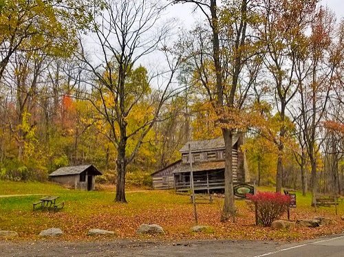
Two nice loop trails start at the Log Cabin Parking Lot – the White Trail and the Blue Trail.
The white trail is easy to moderate in difficulty and except for one area where there is a steep drop off, suitable for kids and pets.
The Blue Trail is moderate in difficulty.
Unfortunately, the PDF map and the Allegheny County Parks app have some errors, but I have you covered.
White Trail (1.77 miles for the loop trail plus 0.16 miles either way for the connector)
White Trail (1.77 miles for the loop trail plus 0.16 miles either way for the connector)

The White Trail starts at the north end of the parking lot as a white blaze symbol with a white pyramid on top (A). Follow the trail and it will soon lose the white triangle on top.
At area B, the white trail ends and you see a white blaze symbol with red dots to the right and left. Follow the white with red dots trail to the right for about 60-70 feet and then you will see a trail going off to the left with a green blaze symbol. This is the white trail, even though the blaze symbol color is now green. Follow this trail. Stay on the main trail. From now on, you will see that trails, also with a green blaze symbol, will branch off to the left several times. Ignore those and make sure that you use the Allegheny County Parks app to follow the white trail. Make sure that you make the right turn at area C correctly.
I have noticed that the blaze symbol changes back to white at area D.
Continue on the trail. The White Trail will eventually merge with the white blaze symbol with a red dot and shortly after you come to the place where you have been before where the white blaze symbol with the white pyramid goes off to the left. This connecting trail then brings you back to the parking lot.
Blue Trail (1.48 miles for the big loop plus 0.11 miles for the connector either way plus the palved road around the storage building)
The Blue Trail starts at the southern end of the Log Cabin Parking Lot. Walk up the paved road around the storage cabin. And follow the formerly paved road, which is now a gravel road until you see the sign with the blue blaze symbol with the white pyramid on top. The connector brings you to the Blue Trail. Be advised that the trail has a shortcut that cuts the length into less than half. The shortcut has a blue blaze symbol with a blue pyramid on top.
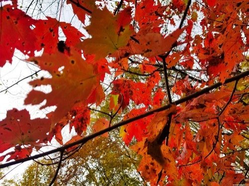
Here are photos from both trails


Back to the Best Parks & Trails in Pittsburgh
Author: Rudy at Backpack and Snorkel
Bio: Owner of Backpack and Snorkel Travel Guides. We create in-depth guides to help you plan unforgettable vacations around the world.
Other popular Purple Travel Guides you may be interested in:
Like this Backpack and Snorkel Purple Travel Guide? Pin these for later:


